
|
|
SUBSIM: The Web's #1 resource for all submarine & naval simulations since 1997
 |
SUBSIM: The Web's #1 resource for all submarine & naval simulations since 1997 |
|
|
 03-17-22, 05:34 AM
|
#1 |
|
Lieutenant
 Join Date: Jun 2019
Posts: 266
Downloads: 558
Uploads: 0
|
Navigation Map (Physical map of heights and depths) 27.08.2022
1. The Archipelago of Saints Peter and Paul has been added to the map. 2. Orinoco and Amazon have been added to the map. 3. The River Thames has been added to the map. 4. The island of Sula Sgeir has been added to the map, as well as the heights of the island of Rhone have been redone. 5. Tjeldoya Slott Skerry Pass has been redesigned. Reworked depths in the Narvik and Harstad areas. Download: https://drive.google.com/file/d/1Afa...ew?usp=sharing -------------------------------------------------------------------------- Navigation Map (Physical map of heights and depths) 03.08.2022 Additions: The depths of the Gulf of Mexico have been redone, the Caspian Sea has been added to the game, the Volga-Don navigable canal (Caspian Sea) was built, the Kiel Canal was improved, in the Brest area, the Goulet-de-Brest passage was built, the Ria-le-Conque bay was built. In general, the Brest area has been improved, islands built in an earlier version have been removed from the map. fashion. Download: https://drive.google.com/file/d/1JrT...ew?usp=sharing ----------------------------------------------------------------------------------------------------- Navigation Map (Physical map Final) 12.06.2022 The final version of the mod. 1) In this assembly, the surface textures of the entire land were replaced as well as added textures of the depths of the oceans on the maps medium and long range. 2) Depth in the Ore Sunn Strait (navigation training mission) has been fixed to the stock version, although it does not match real depths of this strait. This was done in order so that it was possible to complete all the tasks of the training mission. Oryo Island has also been shortened a bit (navigation training mission) This was done so that stock ships could pass this the strait and not run into the horizon line. Thanks for the help to the forum member Subsim - Anvar1061)  Download: https://drive.google.com/file/d/1xPy...ew?usp=sharing ----------------------------------------------------------------- Navigation Map (Physical map of heights and depths) 07.06.2022 Depth has been changed in this update coastal waters of America. Starting from Georgetown and up the map, the Bay of Maine, coastal waters of Halifax, Nova Scotia, coastal waters of Newfoundland and Labrador, Great Newfoundland Bank bypassing Belle Isle Sound from the north and ending with Melville Lake. Changed all depths of the Gulf and the St. Lawrence River. It was not possible to change only the strait of Belle Isle for technical reasons. ----------------------------------------------------------------------------- I express my gratitude to the participant of the forum Subsim - Mornar Brane. This guy always took the time to answer my questions. and was a huge help in creating this version. ----------------------------------------------------------------------------- 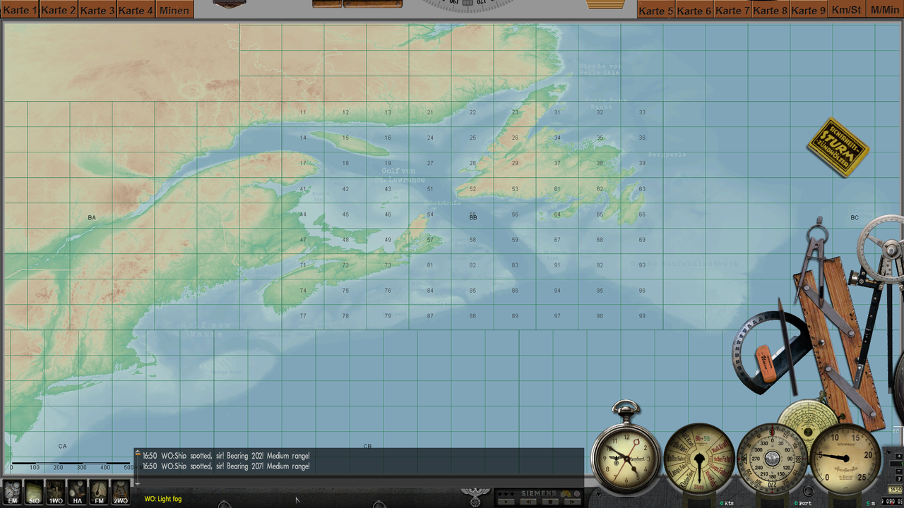 The mod is suitable for all versions of the game. Installation using the JSGME program. Download: https://drive.google.com/file/d/1SNm...ew?usp=sharing --------------------------------------------------------------------------------------------------------- Navigation Map (Physical map of heights and depths) 17.04.2022 На карту добавлены подписи стран (как на стоковой карте конвоев), заливов, морей, океанов и морских банок. Изменена цветовая гамм глубин на более светлую, для удобства игры. Так же изменена музыка в меню игры на композицию группы Two Steps From Hell. 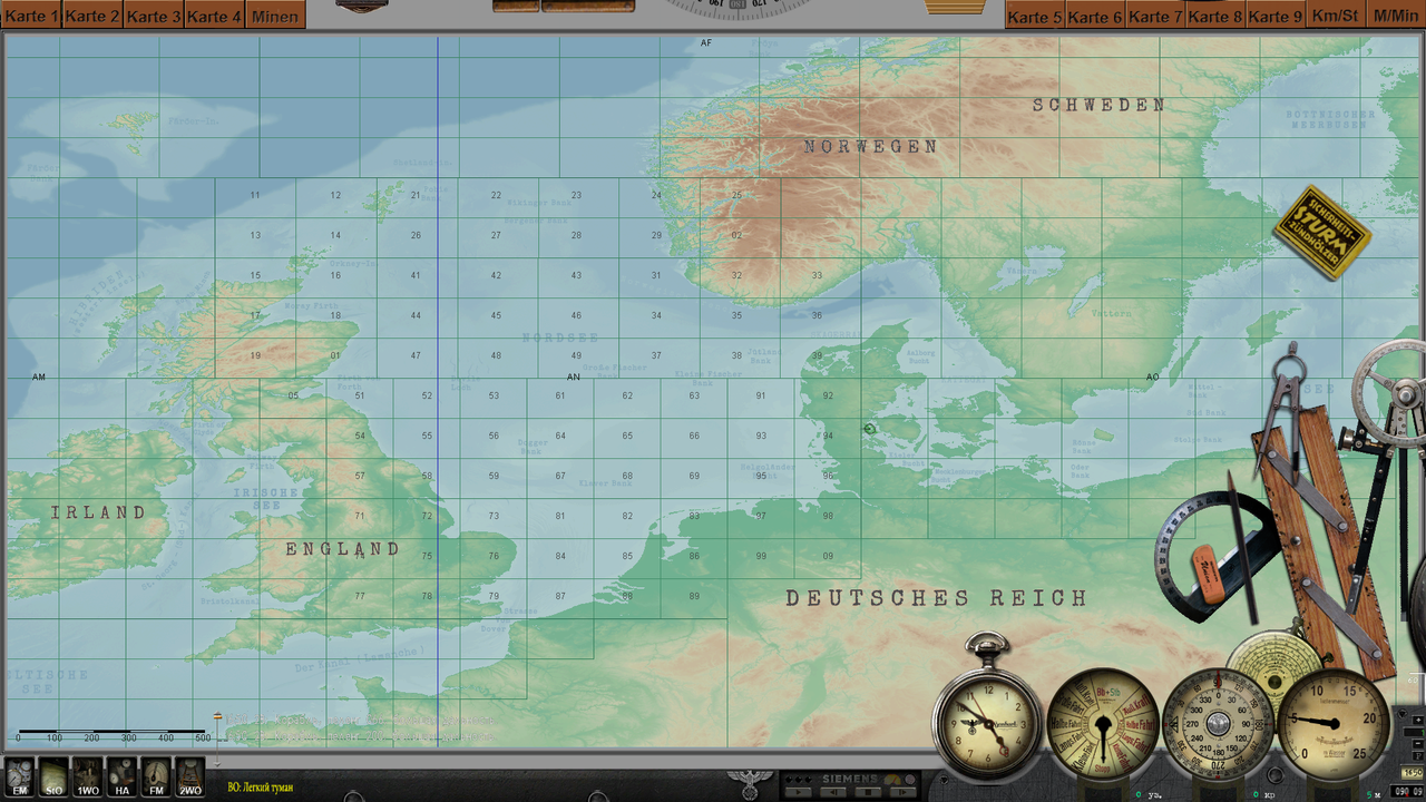 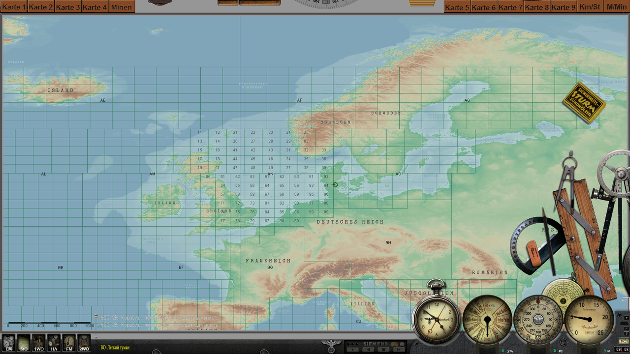 Мод карты подходит для любых версий разрешения экрана и для любых мод-паков и сборок. Установка: Через JSGME или просто замените файлы в корневой папке игры. Как вам будет удобно. Скачать: https://drive.google.com/file/d/1fUs...ew?usp=sharing ------------------------------------------------------------------------------------------------------------------- Navigation Map (Physical map of heights and depths) 10.03.2022 Welcome) In this fashion, I tried to repeat the gradation of the heights of the physical map of the world. The colors change when the heights change about 0,100,200,300,400,500, etc. like on a real map. Warning!The colors of the depths in fashion do not match the colors of the depths in the game. I also added textures of trees, palm trees, etc. from the SH4 game to the game. I was making a mod for myself and decided to share it with everyone) Download: This mod and all my other mods, you will find on this page) https://brat01.mybb.rocks/viewtopic.php?id=210&p=3 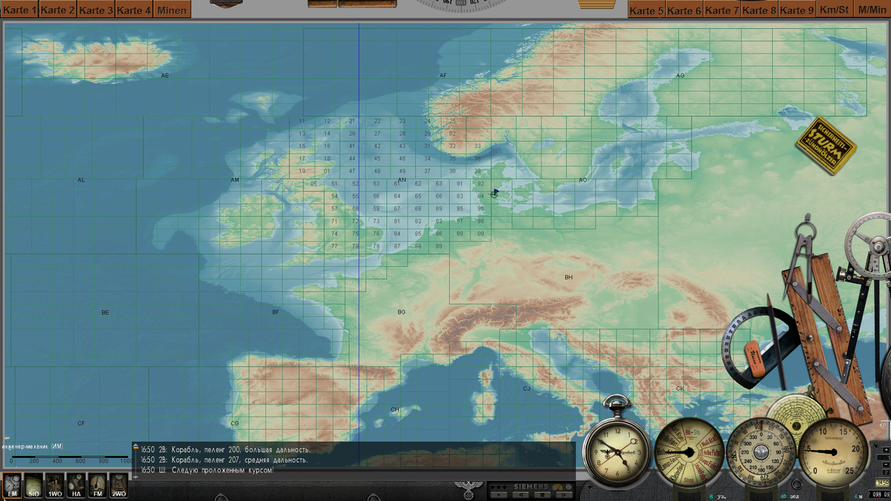 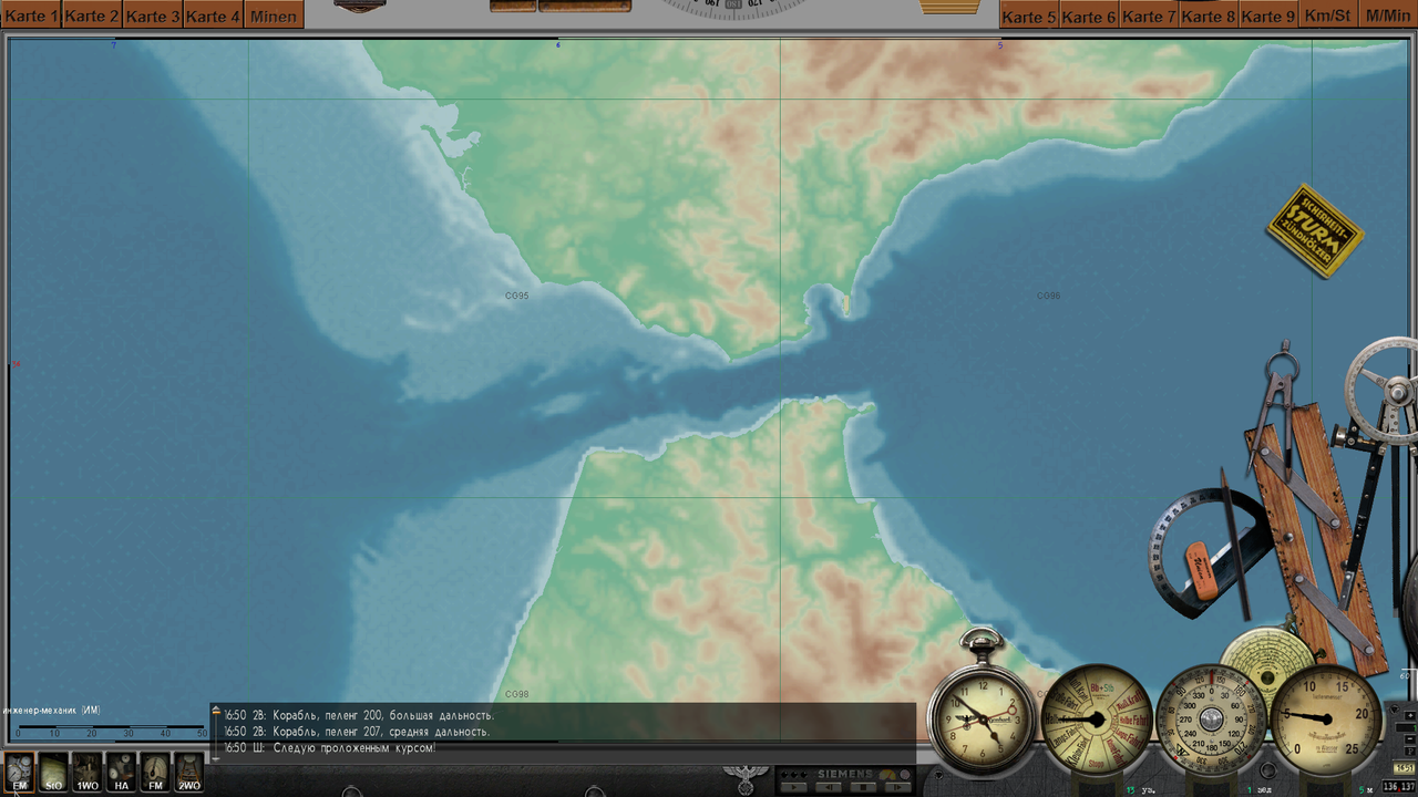 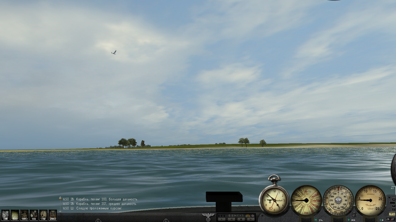 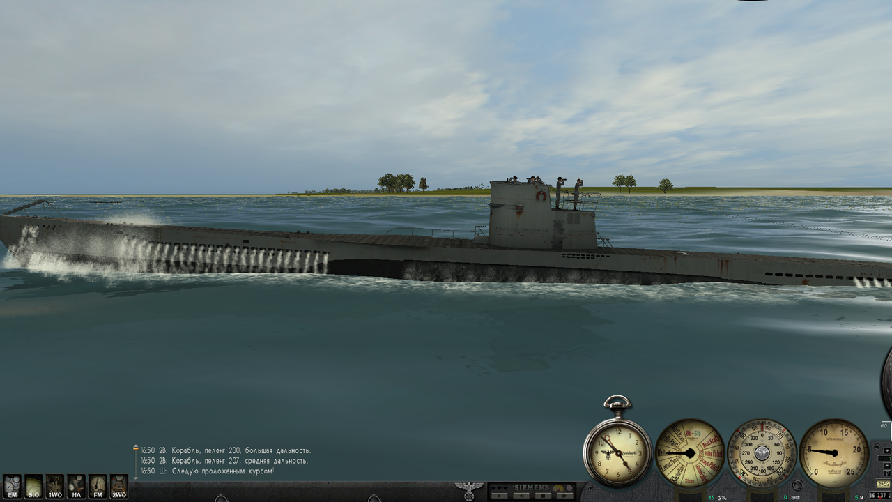
Last edited by astvitaliy1982; 06-22-24 at 02:23 PM. |

|

|
 03-20-22, 02:16 PM
|
#2 |
|
Watch
 Join Date: May 2012
Location: Home
Posts: 16
Downloads: 91
Uploads: 0
|
Выглядит неплохо!
 Пы.Сы. У вас интересная сборка модов. Можете поведать о ней или поделиться?
__________________
Do not laugh at my messages, I just use an automatic translator |

|

|
 03-21-22, 05:15 AM
|
#3 |
|
Lieutenant
 Join Date: Jun 2019
Posts: 266
Downloads: 558
Uploads: 0
|
Привет) Я играю в сборку GWX Onealex Edition 1.52
Last edited by astvitaliy1982; 03-21-22 at 06:36 AM. |

|

|
 03-23-22, 05:26 AM
|
#4 |
|
Watch
 Join Date: May 2012
Location: Home
Posts: 16
Downloads: 91
Uploads: 0
|
Спасибо. Изучим поближе.

__________________
Do not laugh at my messages, I just use an automatic translator |

|

|
 04-10-22, 12:23 PM
|
#5 |
|
Bosun
 Join Date: Mar 2022
Location: Jamaika
Posts: 67
Downloads: 30
Uploads: 0
|
Extra cool map
|

|

|
 |
|
|
