I made quite a bit of progress on this little navigable map project.
-Added all the white buoys
-Added all the green buoys
-Added all red buoys to
-Added all lightships.
All buoys and lightships present in games are now visible in their correct position in nav map.
For information, they are more 2000 buoys on the map now.
-Added more than 70 names of islands in the northern hemisphere
-remove the grid system on the navigation map.
-addition of the Kriegsmarine grid map in the user map.
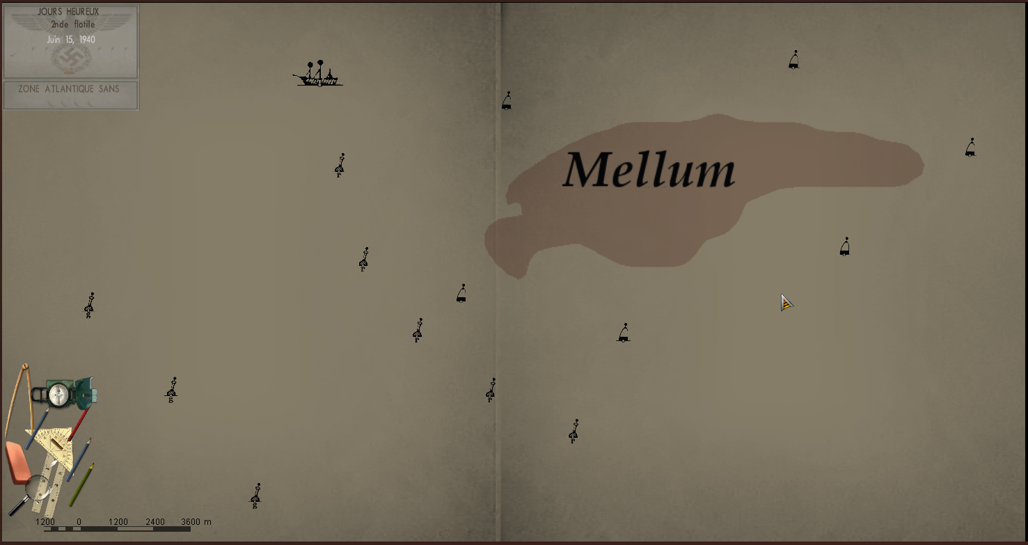
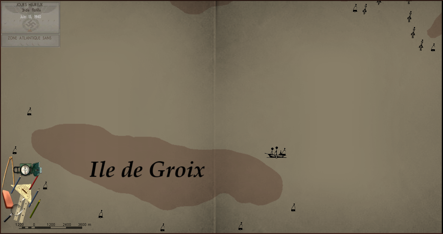
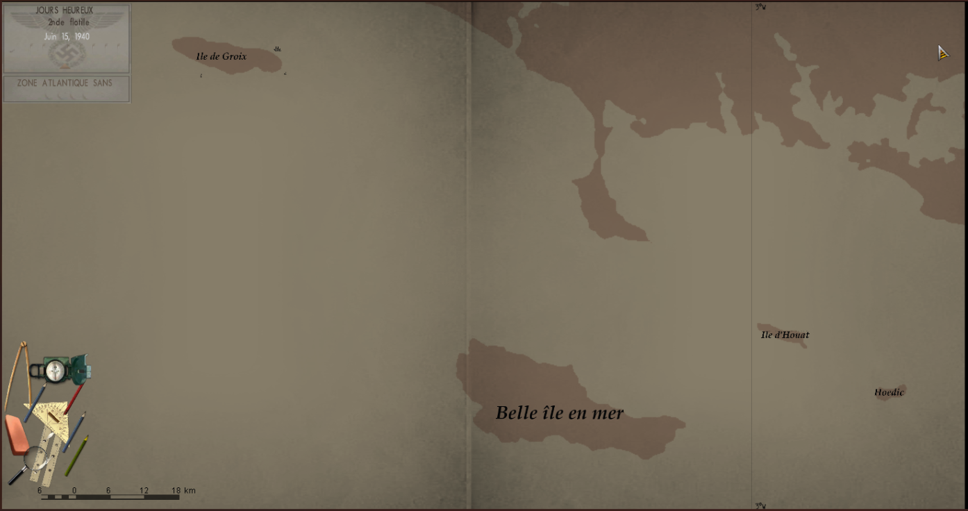
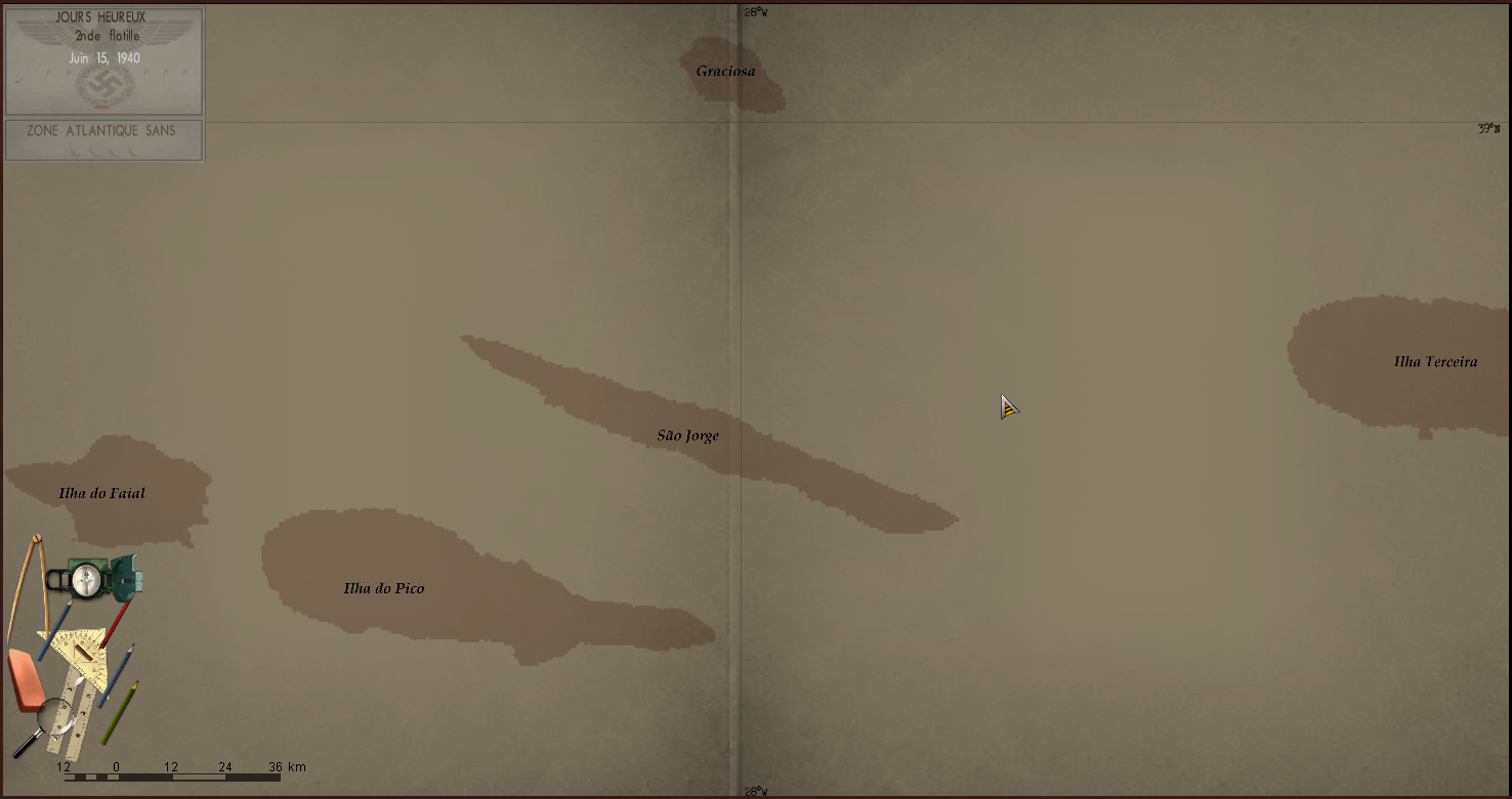
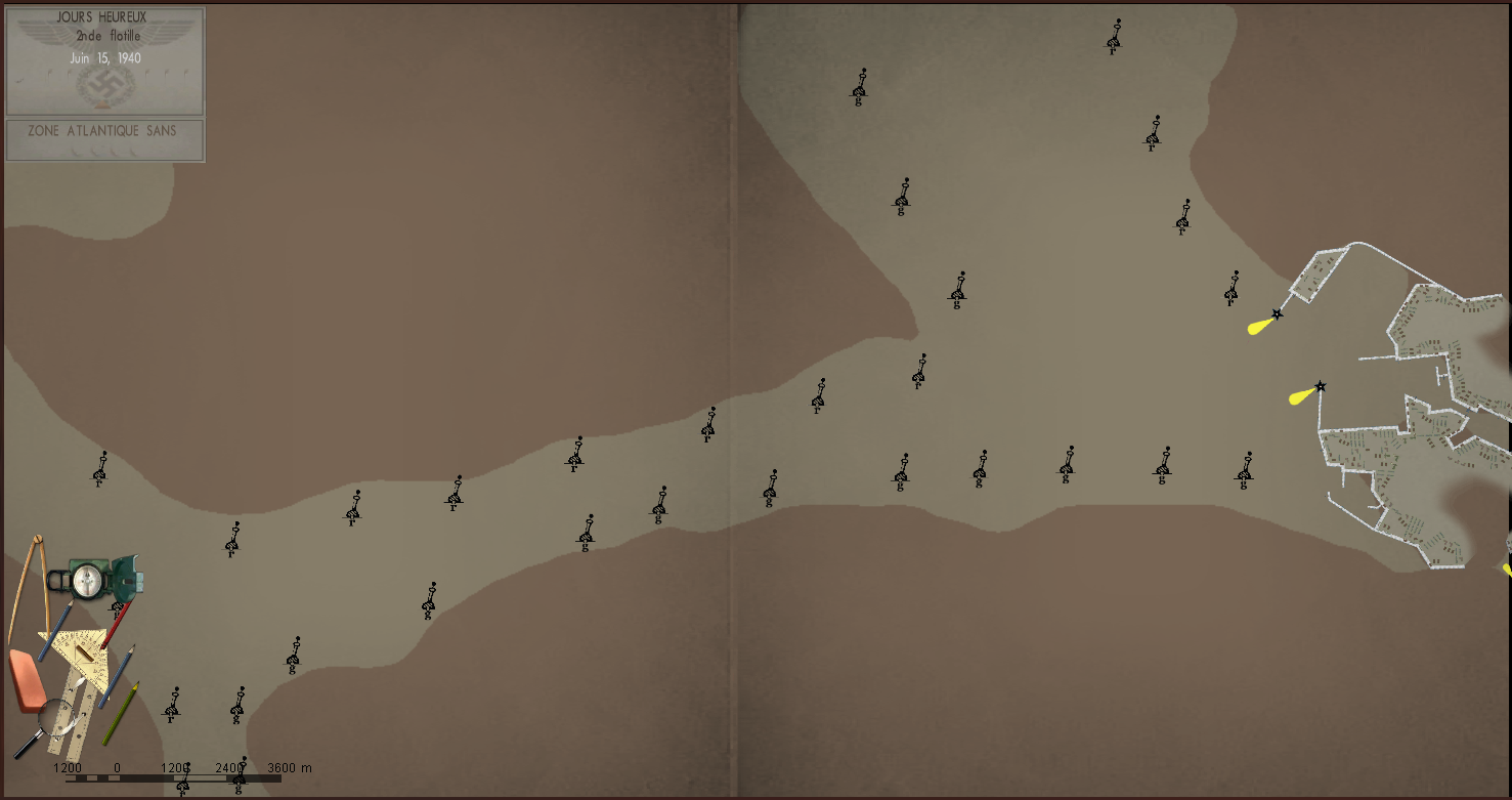
Some Pictures (click on the picture for have better quality) :
North of Wihlelmshaven.
 Groix island, front of Lorient.
 îles des açores
Bergen
Next step :
-finish adding the name of all the islands of the North Atlantic.
-add the seas, oceans, rivers.
-modify the number of zooms on the map, restrict to only 4 or 5 possible zooms.
-add number indicating the depth at the level of the main ports and certain islands.
-add numbers indicating the maximum height of certain islands.
-add lighthouses on the French coast.
-change the colors of the map to have a map closer to reality
If any people want help me to advance, Do not hesitate to contact me !!