My problem is that when building a map using the SH3 depth template, the depth error was plus or minus 80 meters. Where it should be 200m, I got 120m.
Then I went the other way and scanned the depths with an echo sounder. Meter by meter. And then the map began to turn out ...

The blue and red borders are what have been redone.
Approximately correct ratio of depths is highlighted in red.
Blue, what I will redo.
If anyone is interested, here is my draft. Just install it via JSGME.
Inside each square folder there are three files, for example:
E003N058.ZHF
E003N058.raw
E003N058.psb
I need them for work. Therefore, the mod takes 385 MB.
https://drive.google.com/file/d/1SWc...ew?usp=sharing
The deepest point of the Skagerrak should be about 660m, I had to draw it again, but the game engine does not allow me to do this(
This is the site I use to check depths:
https://portal.emodnet-bathymetry.eu/
The SH4 katra differs from the SH3 in its improved detail, if it is properly worked on.
But the stock version of the map is much worse in quality than in the third part of the game. Now I'll show you what I want
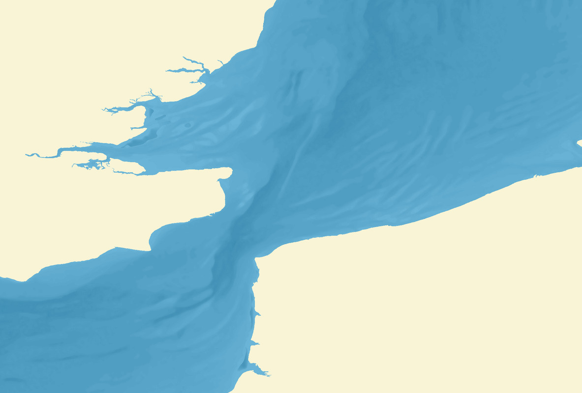
see depths in game:
Strait of the English Channel
North Sea

Baltic

I wanted to know if the depths of the fourth part are really the same as in the third, to make sure that I'm on the right track.